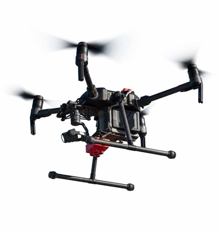
Drone Monitoring
With a world that is becoming more connected through digital technology more than ever – the use of unmanned aerial vehicles (UAV), known as drones, is innovating revegetation and rehabilitation projects around Australia.
Read More100% Guaranteed Results

Precision technology has driven the agriculture revolution for years however agronomists, agriculture engineers and even farmers are turning to the use of UAVs to gain better insights and more accurately plan and manage their operations.
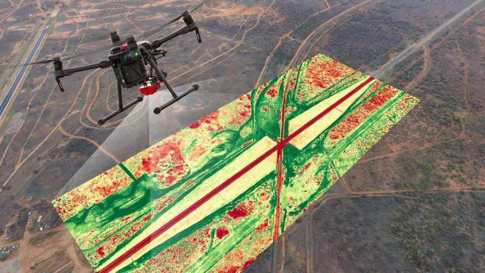
As well as innovating through our focus on soil health, Spray Grass Australia utilises the latest in drone and imaging technology. Drones are used to provide 3D modelling, area monitoring and image mapping, which along with soil testing, allows us to map the rehabilitation area to a high degree of detail. This ensures that solutions are applied with precision and accuracy and that all areas are covered evenly and uniformly.
Utilising some of the latest industrial drones, we are able to take advantage of multispectral and thermal imaging cameras and sensors to gain a deeper understanding on how plants are performing. NDVI technology, when utilised in conjunction with sensors, is the classic indicator of plant health and vigour. By combining these remote sensing techniques, we have been able to monitor the environment more closely and get a more accurate picture of activities, allowing us to plan rehabilitation performance on a landscape-wide basis and maximise growth efficiency.
Operating personnel have undergone rigorous training and hold all relevant licences, compliant with Civil Aviation Safety Authority (CASA)
Utilising our drone and software, we can analyse many different analytical layers. We are able to monitor the sowing quality, growth rate, the counted number and planned number of plants, we can also undertake plant disease analysis and pest detection, allowing us to maximise growth efficiency for project success.
Find out more about drone monitoring.
Get in ContactRelated Articles
What is Dust Suppression?
Dust is a common health and environmental problem anywhere in the world, which is why...
read more
Why is Erosion Control Important?
Soil erosion is one of the top 10 soil threats in the world, as a...
read more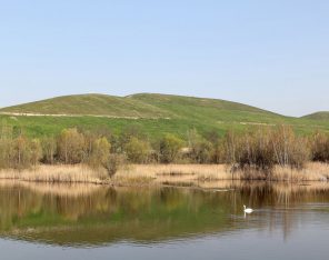
The Importance of Timing Revegetation Projects
The key to a successful revegetation project rests in the timing and identifying the perfect...
read more
4 Reasons to Focus on ESG
Environmental, Social, and Governance (ESG) isincreasingly gaining traction. Due to climate change and environmental concerns,...
read more